Saturday, June 13, 2020

A Walk to Cadeby Church

It started off by being not ideal for walking today, misty and cloudy, but it brightened up after lunch and ended up quite pleasant in the afternoon - I needed to get out of the house and do something positive for a few hours, so as long as it wasn't raining, it was fine. The lockdown has been getting me down again, especially some of the current developments.

I decided to visit Cadeby today and the small decommissioned church there, designed by George Gilbert Scott, the same Victorian architect who designed Doncaster Minster - I think he worked on both buildings at the same time. 

I walked to Conisbrough Viaduct, going via Hexthorpe Flatts park and the right bank of the Don. I found quite an attractive path that I'd not used before, going just to the north of Hexthorpe Flatts. It's not very far from the houses or the railway line but it's like being out in the countryside - it finished with a steep slippery descent to the riverside path.


This path goes under the motorway bridge and beyond Sprotbrough passes the location of the small lime-making community of Levitt Hagg.


I turned back a couple of times as I was exploring the network of footpaths and quarry roads in this area. I'd planned to go down into Steetley Quarry, but all of the paths were very steep - I wasn't wearing my hiking boots, only a pair of sturdy trainers which didn't have much grip on the soles though.


I crossed over Conisbrough Viaduct and then walked down the road to Cadeby; it's quite a pretty  village, but it's small and there's nothing else to photograph there apart from the church.


I continued to Sprotbrough along the road and then the footpath that goes right alongside the road. The next photograph features the furthest east to date of the signs erected by the Peak and Northern Footpaths Society.


A few hundred yards beyond this point I lost the track of the official footpath and ended up down in an old abandoned railway cutting. There was still a well-defined path - but there was this obstacle in the way. I had to decide whether to go under or over, and I chose the latter.


I entered Sprotbrough from an unexpected direction; it was quite busy at Lower Sprotbrough down by the river. There was an ice cream van and a concession selling hot drinks and snacks since the pub is still closed and boarded up like everywhere else.


When I reached the motorway bridge I took the steps going up the hillside out of the gorge and then the path that goes near to the housing estate and then across the fields eventually to Sprotbrough Lane, from where I walked along the road to the town centre and then home.


Monday, June 8, 2020

Cantley Church, Cantley Park, and Sandall Beat Wood

I've been looking at photographs of Cantley Church online and despite it being in the middle of a modern housing estate it seems to be quite attractive and so I've decided to visit the area on today's walk, and then continue to explore parts of Cantley Park I haven't seen before.

As usual on my way to Lakeside I passed the local aircraft museum, this is the first time I've included a photograph.


The marina area of Lakeside is blocked off because the paths are too narrow for people to pass due to the coronavirus diktats so I needed to take a slightly different route and that's from where this photograph was taken.


There are a couple of watertowers on Church Lane at Cantley; there are a lot of watertowers in Doncaster, I've already photographed the one at Warmsworth. 


A few minutes later I reached the church.


I needed to do quite a bit of research using Google Street View and Ordnance Survey mapping to find the nearest entrance to the park on Acacia Road - it wasn't very far.

I headed north through the park, keeping to the western edge though, and after going the wrong way a couple of  times, and a bit of deliberate random wandering  I managed to find the footbridge over the railway line that leads to Sandall Beat Wood.


It was then the familiar and boring walk back home going past the racecourse, across Town Fields, and through Elmfield Park.

My left foot's been quite painful this morning, mainly on the outer side and at the top, the best way I can describe the pain is saying it feels like trapped nerve. After a bit of trial and error I found out that curling my toes upwards really helped, although this doesn't make walking easy. I'm not concerned, I've suffered with this before and it always clears up without needing any treatment...after a couple of hours today it was barely noticeable.


Tuesday, June 2, 2020

Walking To Cusworth Hall By A Different Route

A walk today taking in a few footpaths in the Cusworth area that I haven't used before. As usual to get out to the area I needed to walk through the town centre - it was still quite deserted, although a few more shops are open now.

I continued over North Bridge and along York Road to the Sun Inn and then took the footpath that goes along the course of old Roman Ridge.


When I reached Green Lane I turned left and then almost immediately left again, going down Scawsby Lane, then crossing over Barnsley Road a couple of miles further out of town and continuing down Sheep Walk Lane.

Scawsby Hall is situated at the point where I crossed over Barnsley Road, it has some quite nice topiary.


I had been walking in open countryside for about a couple of miles when I reached a footpath which cuts through a ribbon of woodland, further on there was a short makeshift obstacle course set up for mountainbike riders.

The path towards Cusworth Hall Country Park goes across a field and downhill. Since I was already at the bottom of the hill that's where I stayed and walked along the path that goes at the back of the main lake and then returned back home by the shortest and quickest route, as I've done on a couple of previous lockdown local walks.  


Monday, June 1, 2020

Doncaster Lakeside, Bessacarr, Auckley, Branton, Old Cantley, and Cantley

Despite being attacked by the dog yesterday and having to go to the hospital I was determined to get walking again today. I'm still managing to devise routes where I haven't previously walked along some quite long sections of footpaths, today it's been about two miles out of ten.

I headed out beyond Doncaster Lakeside to the area just north of Doncaster Golf Club, walked through part of a housing estate at Bessacarr and then took a footpath that zigzagged over to Auckley.


The housing at Bessacarr was very posh; it can't be a coincidence that Warnington Drive leads onto Warning Tongue Lane.


There are some very nice large detached houses with well-maintained gardens on Warnington Drive which I reckon might be the poshest street in Doncaster.

My route took me through Hayfield Lakes...which were looking lovely. There's no public access to the lakes, but the public footpath bisects the site - the final photograph is spoiled by the pylon that's just visible over to the left though.


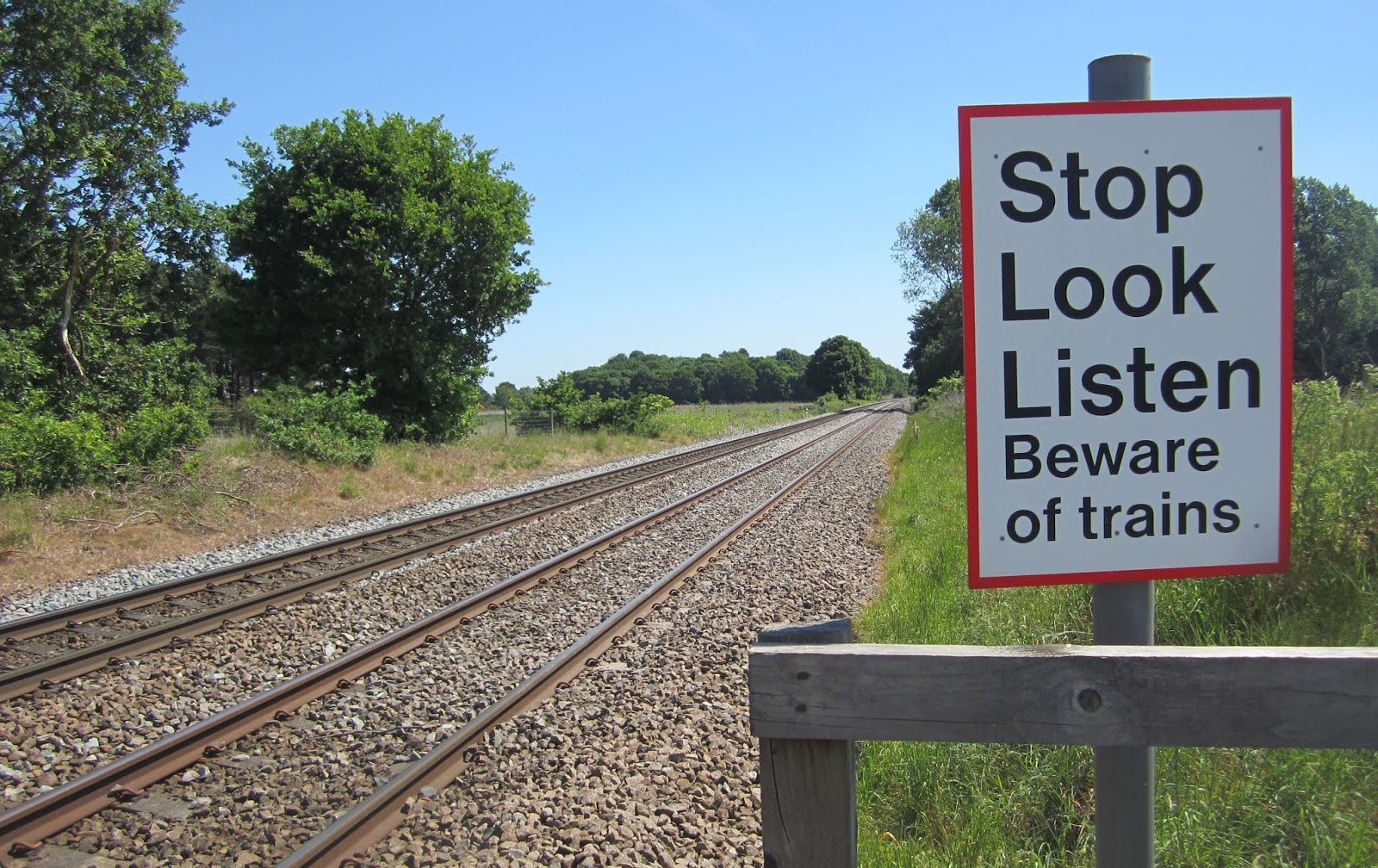
Going over to Auckley I crossed over the Doncaster to Lincoln Railway line for the second time - neither time did I have to wait, not many trains use the line.


On the approach to Auckley the footpath has been temporarily diverted around a building site - I don't think it added any distance to the walk though because the original route of the path wan't very direct at all.

Several comical scarecrows have been placed around the village.


I continued along the road to Branton,  according to the Ordanance Survey map at the western edge of the village there's a path that looks like it passes under the motorway to get to Old Cantley. I found the path and followed it but there was no tunnel and so I had to use the road to reach Old Cantley.


I walked through Cantley Park, through the housing estate and along Bawtry Road and the dual carriageway back to my house.