Showing posts with label Hayfield Lakes. Show all posts

Monday, June 1, 2020

Doncaster Lakeside, Bessacarr, Auckley, Branton, Old Cantley, and Cantley

Despite being attacked by the dog yesterday and having to go to the hospital I was determined to get walking again today. I'm still managing to devise routes where I haven't previously walked along some quite long sections of footpaths, today it's been about two miles out of ten.

I headed out beyond Doncaster Lakeside to the area just north of Doncaster Golf Club, walked through part of a housing estate at Bessacarr and then took a footpath that zigzagged over to Auckley.


The housing at Bessacarr was very posh; it can't be a coincidence that Warnington Drive leads onto Warning Tongue Lane.


There are some very nice large detached houses with well-maintained gardens on Warnington Drive which I reckon might be the poshest street in Doncaster.

My route took me through Hayfield Lakes...which were looking lovely. There's no public access to the lakes, but the public footpath bisects the site - the final photograph is spoiled by the pylon that's just visible over to the left though.


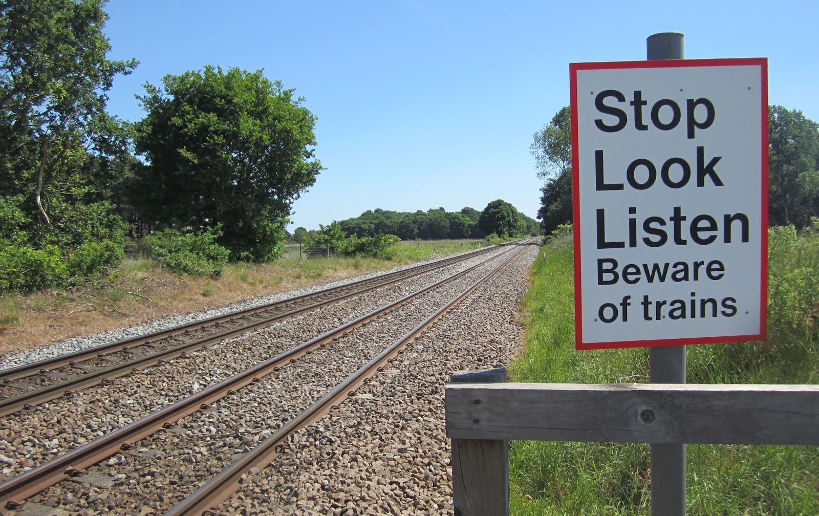
Going over to Auckley I crossed over the Doncaster to Lincoln Railway line for the second time - neither time did I have to wait, not many trains use the line.


On the approach to Auckley the footpath has been temporarily diverted around a building site - I don't think it added any distance to the walk though because the original route of the path wan't very direct at all.

Several comical scarecrows have been placed around the village.


I continued along the road to Branton,  according to the Ordanance Survey map at the western edge of the village there's a path that looks like it passes under the motorway to get to Old Cantley. I found the path and followed it but there was no tunnel and so I had to use the road to reach Old Cantley.


I walked through Cantley Park, through the housing estate and along Bawtry Road and the dual carriageway back to my house.

Sunday, August 25, 2019

Rossington, Branton, Armthorpe, and Doncaster

An easy local walk with an early finish today; I've got an early start in the morning...I'm going to the Epworth Agricultural Show with my support worker and we want to get there for when the gates open at 9:30, after already having had a hearty breakfastint the pub - I also need to do quite a bit of online research about antiques centres and equestrian shows for a couple of Siobhan's other clients.

I caught the 7:48 bus to Rossington and travelled to the old part of the village, getting off at the church.

The church at Rossington is a difficult church to photograph, there aren't any obvious angles and sightlines and I couldn't fit all of the building in shot. I saw two squirrels in the churchyard, and another one running across the road a few minutes later.


I soon found the footpath I was looking for, a snicket going down between the gardens of the nearby houses. According to the map the path was meant to continue in a straight line to open countryside but after about three hundred yards it disappeared. I reached a road where some new houses had been built, I could turn to the right or to the left, but not go straight ahead. I looked at the map and worked out that by going off to the right I'd soon reach the Great North Road and would be able to pick up my planned route.

There's an attractive milestone on the verge at the side of the road, it dates from 1859.


The path went through a wood...and a small lake which I was surprised to see because it isn't shown on the map...it is depicted on the online Ordnance Survey mapping though.


The countryside was more open in nature as I approached Hayfield Lakes, which were shown on my map.


Further on I passed the Yorkshire Wildlife Park on my way to Branton, it looked as though they were going to have a busy day.

I needed to walk through the village and along the road until I reached a footpath heading north to Armthorpe. Armthorpe is a large village with quite a few shops; I popped into Morrison's supermarket to pick up a few items and then headed for the church. The church seems to have a Scandinavian appearance to me. Before having a quick check online I would have written that the building isn't very old, but that's not true - although extensively restored in the late nineteenth century the church actually dates from the twelfth century. Despite this it's still quite attractive though and the restoration work gives it its unusual appearance.

Yet again though, I found it difficult to photograph the church. The Sunday service had just finished but I didn't go inside - I wasn't really dressed for the occasion.


I completed the walk by taking the path leading to Sandall Beat Wood - my route took me over the top of the old colliery spoilheap.


The children's playground was busy and there was an ice cream van there but the ranger station, and therefore the public toilets, in the middle of the wood were closed. I didn't need either today.

I continued past the entrance to the racecourse and then down the dual carriageway that forms part of the ring road to the street where I live. I arrived home at 1:15 - plenty of time to do everything I need to do today and then take things easy before Siobhan picks me up at 7:45 in the morning.