Monday, April 26, 2021

Saxton, Towton Battlefield Walk, Tadcaster, Newton Kyme, Ryther, and Selby

A trip out with my support worker today, the first time this year. We went to Towton near Tadcaster and did the battlefield walk, an easy circuit of about three miles with about a dozen very detailed information panels about Britain's bloodiest battle which took place during the Wars of the Roses. 

The first place we visited though was the village of Saxton about a couple of miles before the start of the walk.


We then drove to the roadside cross which indicates the start of the Battlefield Walk; the walk took us just over an hour going through gently undulating countryside. The information boards, although detailed didn't seem that relevant to me, concentrating mainly on the characters involved and not the actual battle.


Our next sop was Tadcaster for fish and chips.


We then drove two miles to Newton Kyme, a pretty hamlet I'd researched online.


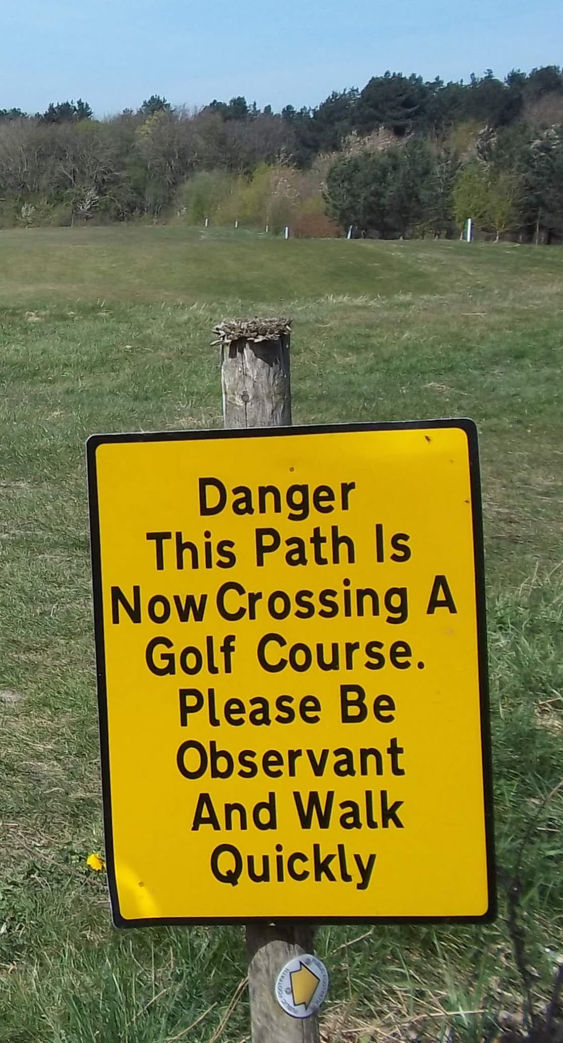
We then set off for home, going a different route via Selby. I had to ask Siobhan to stop so that I could photograph this sign at Ryther...and the church there of course.


We planned to next stop at Cawood but couldn't find anywhere to park, so we continued on to Selby and did some grocery shopping at the supermarket. The road heading south to Doncaster was closed and so we had to follow a diversion taking us via Snaith.

Friday, April 23, 2021

Dodworth and Silkstone Walk

Today was the first time in a year that I was using my Ordnance Survey map that covers the Peak District, although I only ventured a few miles to the west of Barnsley. I travelled to Dodworth  and started the walk by finding the footpath that goes right alongside the railway line for half a mile before crossing the track and heading for Silkstone.

At the start this path goes near to the church.


I walked along the busy main road for a few hundred yards and then up the country road going towards Blacker Dam. This is a dead end road but continues as a bridleway for a mile and a half to a location called Four Lane End. Along this lane I arrived at the scene of an outdoor wedding reception being set up in a field; someone was taking photographs of the bride in her wedding dress...he had to wait until I passed out of shot. It was all very amicable though.


I left this bridleway just before reaching the houses and headed off to the northwest towards Hoylandswaine, I didn't enter the village though, I stayed on footpaths to the east, briefly joining the Penistone Boundary Walk before continuing eastwards to Silkstone, and walking through the centre of the village.


I left Silkstone heading to the north along the Silkstone Waggonway and then turned east at the sewage works, taking one of the paths that passes through the golf course and then skirts some industrial units. I finished the walk by catching the bus  near to the motorway interchange back at Dodworth.


Tuesday, April 20, 2021

Carlton-in-Lindrick, Gateford, Darfoulds, Belph, and Worksop

For the first time in over a year I've managed to return to Derbyshire using public transport. I didn't go to the Peak District though, but tothe hamlet of Belph, the furthest east place in the county, but quite near to Worksop.

I got off the bus several miles north of  Worksop at Carlton-in-Lindrick and walked through the village to the church.


I then took a couple of paths across the fields to Gateford, a residential area of Worksop.


This was my best shot of Gateford Hall, although it's only one of the outbuildings.


I left Gateford and entered a trading estate and then an area of a landscaped spoilheap.


I crossed over the Chesterfield Canal near to Shireoaks Marina.

I then took a path going over to the southwest, and then southeast to reach Darfoulds. About a mile further south I crossed into Derbyshire and it was another mile until I reached Belph where there were a few footpaths in the immediate area for me to explore. 


This footbridge was officially closed, but it wasn't a problem.


The footpaths to the south and west of Belph were delightful, even though relatively close to a grassed over former quarry.


I then headed northeast and stayed on the same footpath all the way to Worksop. Just over half a mile along the path was the furthest east point you can reach in Derbyshire using roads or public footpaths. This footbridge marks the boundary between Derbyshire and Nottinghamshire.


The final part of the walk was the most difficult to navigate, going through the housing estates to reach the bus station.


Sunday, April 18, 2021

Ardsley, Edderthorpe, Darfield, and Conisbrough

I travelled on the X19 Barnsley bus today, but only as far as Ardsley this time. I got off the bus and walked through a housing estate until I found my first footpath, heading in a northeasterly direction along the edge of a linear wood.

This trigpoint is located at an altitude of 102 metres above sea level.


I continued along paths where I'd not been before until I reached a diversion sign; the diversion was easy to follow and went across some lovely meadows.


I think this totally unique home-made footpath sign is on the route of the diversion.


A mile or so further on I could see over to my left that one of the wind turbines near Grimethorpe has been badly damaged.


I then took a path heading south followed by one going to the east to the hamlet of Edderthorpe. I was now on the Dearne Way and stayed with it, going past the church at Darfield, on to the north of Broomhill until I reached the TransPennine Trail to the West of Bolton-on-Dearne.


I explored a landscaped spoilheap to the south of the River Dearne before continuing along the south bank of the river to rejoin the TransPennine Trail to Conisbrough where I caught the bus back home from the bus stop with the stunning view of the castle.


  I continued to Conisbrough along a route I've walked many times before and caught a bus from the bus stop next to the castle.