Today was the first time in a year that I was using my Ordnance Survey map that covers the Peak District, although I only ventured a few miles to the west of Barnsley. I travelled to Dodworth and started the walk by finding the footpath that goes right alongside the railway line for half a mile before crossing the track and heading for Silkstone.
At the start this path goes near to the church.


I walked along the busy main road for a few hundred yards and then up the country road going towards Blacker Dam. This is a dead end road but continues as a bridleway for a mile and a half to a location called Four Lane End. Along this lane I arrived at the scene of an outdoor wedding reception being set up in a field; someone was taking photographs of the bride in her wedding dress...he had to wait until I passed out of shot. It was all very amicable though.


I left this bridleway just before reaching the houses and headed off to the northwest towards Hoylandswaine, I didn't enter the village though, I stayed on footpaths to the east, briefly joining the Penistone Boundary Walk before continuing eastwards to Silkstone, and walking through the centre of the village.


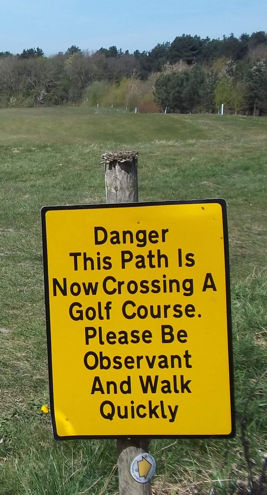
I left Silkstone heading to the north along the Silkstone Waggonway and then turned east at the sewage works, taking one of the paths that passes through the golf course and then skirts some industrial units. I finished the walk by catching the bus near to the motorway interchange back at Dodworth.


No comments:
Post a Comment