Showing posts with label Doncaster Lakeside. Show all posts

Sunday, June 28, 2020

iPort Lakes

I've never written a blog title starting with a lower case letter before, but it's the correct usage for these very recently established lakes...I hope they get a better, more suitable, permanent name soon.

I checked the Street View images on Google Maps to look for a path that would get me to the iPort Lakes once I'd reached the Lakeside area, and as previously it looked like there's a cycleway...and indeed there is.

It was rather cold when I left home at 9:20, windy, drizzling, and quite dark too. It brightened up a bit later on, but it got even windier.

These two photographs of the Lakeside area don't actually feature the lake.


I got to the iPort lakes within forty minutes; there's a cabin there that sells snacks and drinks and it was quite busy - I sat and ate my sandwiches in a field of clover.


Although there was a path I couldn't make an entire circuit of the lakes - a drainage ditch was in the way. I think that in drier weather conditions it would be possible to junp across it though.


I re-traced my steps and then walked where I could get.


I stopped to photograph this pretty, but tiny, railway bridge on the return journey, going by a different route, one that I've used before...but hadn't noticed the bridge.


Monday, June 1, 2020

Doncaster Lakeside, Bessacarr, Auckley, Branton, Old Cantley, and Cantley

Despite being attacked by the dog yesterday and having to go to the hospital I was determined to get walking again today. I'm still managing to devise routes where I haven't previously walked along some quite long sections of footpaths, today it's been about two miles out of ten.

I headed out beyond Doncaster Lakeside to the area just north of Doncaster Golf Club, walked through part of a housing estate at Bessacarr and then took a footpath that zigzagged over to Auckley.


The housing at Bessacarr was very posh; it can't be a coincidence that Warnington Drive leads onto Warning Tongue Lane.


There are some very nice large detached houses with well-maintained gardens on Warnington Drive which I reckon might be the poshest street in Doncaster.

My route took me through Hayfield Lakes...which were looking lovely. There's no public access to the lakes, but the public footpath bisects the site - the final photograph is spoiled by the pylon that's just visible over to the left though.


Going over to Auckley I crossed over the Doncaster to Lincoln Railway line for the second time - neither time did I have to wait, not many trains use the line.


On the approach to Auckley the footpath has been temporarily diverted around a building site - I don't think it added any distance to the walk though because the original route of the path wan't very direct at all.

Several comical scarecrows have been placed around the village.


I continued along the road to Branton,  according to the Ordanance Survey map at the western edge of the village there's a path that looks like it passes under the motorway to get to Old Cantley. I found the path and followed it but there was no tunnel and so I had to use the road to reach Old Cantley.


I walked through Cantley Park, through the housing estate and along Bawtry Road and the dual carriageway back to my house.

Sunday, November 20, 2016

Doncaster, Bessacarr, and Loversall

I woke up quite late again this morning after a night out, in Doncaster this week; so a rainy start to the day wasn't going to be problem; I had time to have breakfast before the weather cleared up later in the morning and I set off for another local walk...starting from my front door again.

I walked down my street and took a short cut through the estate to the football ground and Doncaster Lakeside before joining the Doncaster Greenway until I reached Bessacarr.


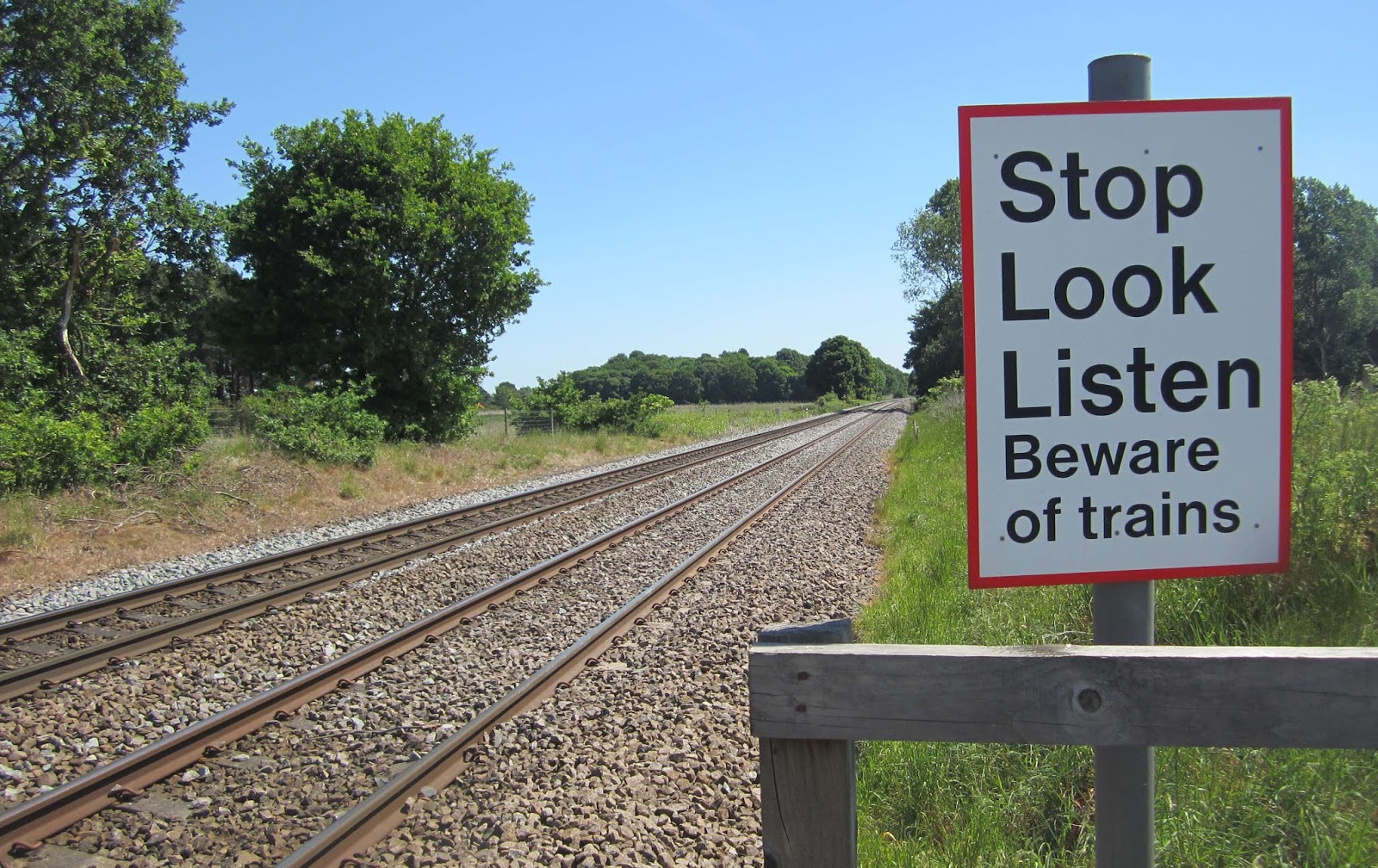
At Bessacarr I found the correct bridleway, which immediately meant I had to use a manually operated level crossing across the Doncaster to Lincoln railway line; it's nothing complicated...just two gates to open and close.

A few hundred yards later the bridleway crosses over the East Coast Main Line, a multi-track, very busy high speed intercity line with overhead electrical wires, obviously presenting a few problems for people on horseback.

Anyhow...this is the solution; it's most likely the most costly-to-build footbridge I've ever used.


The next section of my walk went alongside the M18 motorway, which fortunately is well screened by trees, and then across a rather unattractive area of land near to where what I think is the new National College For High Speed Rail is being built.


The approach to Loversall was quite pleasant along a country lane, and Loversall itself is a pretty little village.


There were about a dozen young men mowing the grass and tending the graves in the churchyard. When the supervisor noticed me taking photographs he asked me if I wanted to look inside the church. He had the keys and so opened it up for me and gave me a brief talk about the building and its history - he was a local man.


As I left the village I crossed the road to check the bus timetable at the bus stop and then plan what I'd do next. A bus back into town was due in six minutes so I just stood where I was and waited for it. It actually arrived a couple of minutes early.