Monday, November 18, 2019

Malin Bridge, Load Brook, Ughill, Low Bradfield, High Bradfield, Foldrings, and Oughtibridge

Public transport ran on schedule for me today; three trams, two trains, and a bus. After arriving at Sheffield this morning I caught the tram to Malin Bridge and then headed straight down into the Rivelin Valley Nature and Heritage Trail.


I nearly bumped into a jogger because neither of us knew which side of the path to move to; it's generally a lot simpler when I encounter mountainbikers - quite often they'll yell out 'To Your Left' or 'To Your Right' and pass on that side.

I didn't go right to the end of the trail, instead I climbed out of the valley just before the parking area at Tofts and walked up onto the high fields.

I headed west towards Bradfield, passing through the hamlets of Load Brook and Ughill.; I stopped to photograph this piece of agricultural machinery - I was intrigued by the scrubbing brushes.


At a junction of two roads on my way down to Low Bradfield I noticed some sort of monument or obelisk over to my left. There was an inscription and a date but it was well worn and indistinct. I shall do some online research later and post any information I find.


It's dangerous to walk up the road from Low Bradfield to High Bradfield; fortunately there's a lovely footpath across the fields. It's a fairly steep climb and at the top I was ready for my glass of Diet Coke or whatever it was, at the Old Horns Inn.

As usual I took some photographs of the village church.


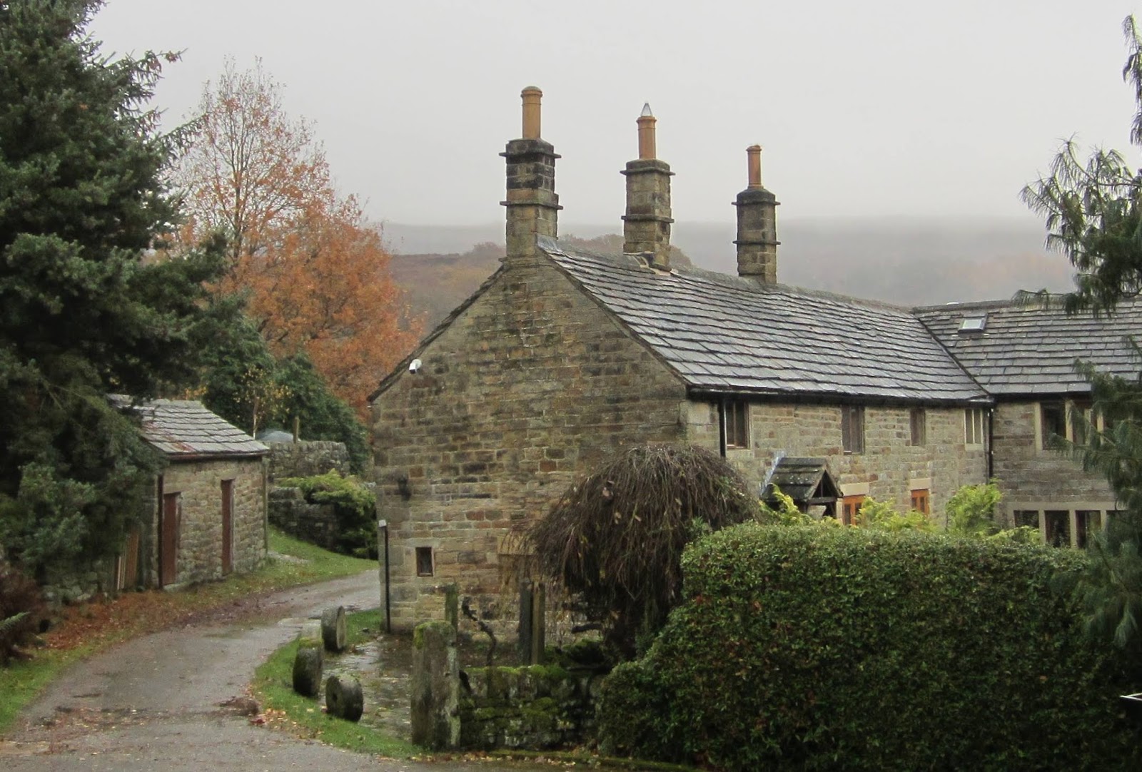
I left High Bradfield by taking the footpath that goes off to the northeast and the next place I arrived at was Foldrings. I then walked through some woods and down the road to Oughtibridge. Many of the views in this area are spoiled by pylons and power lines - I did manage to compose these three images though...with quite a bit of cropping required for the final two.


UPDATE:
 Hoar Stones Road near to Edgefield Farm, above Bradfield. This unusual building is described, in Roger Redfern's book Portrait of Bradfield Dale, as being built over a roadside spring and was erected over the spring after a child drowned there in 1832. The Obelisk is in memory of this sorrowful event.

Thanks to Mick Walpole, replying on the Peak District Past and Present Facebook page.


Saturday, November 16, 2019

Bamford to Ecclesall

It was forecast for thick cloud and a gentle breeze today; that was good enough for me...although there was a slight drizzle until nearly midday.

I travelled to Bamford and walked up Saltergate and made my way up to Stanage Edge using the network of country lanes, tracks, bridleways and footpaths to the north of Hathersage.

I didn't use the footpath going across the golf course...I don't know why.


When I saw the ' Road Ahead Closed' sign I was confident that whatever the problem was I'd be able to pass on foot.


A few minutes later I wasn't so sure though.


I followed the suggested route up the steps.


The path goes parallel and right next to the closed track, only it's on higher ground. I couldn't see any problems at all and when I got to the end of the closed section there was a notice explaining the reason for the closure; resurfacing, and so nothing at all to do with the floods.

My camera gets good reviews and ratings for its performance in poor lighting conditions. I took quite a few test shots and these two were the best of my early efforts.


I decided to also take some photographs were the subject matter was closer.


Just beyond Green's House there are some stepping stones. I decided not to attempt crossing them today though and instead walked further upstream using the footpath - quite difficult in places.


The camera coped much better with the images of Stanage Edge - I think it was a bit brighter and less misty then though.


I walked past Stanedge Pole and almost down to the Redmires  Reservoirs before taking the footpath that goes across the moors towards Fulwood Lane.


I took three or four different country lanes to get down to the Forge Dam Cafe, where I had a pot of tea.

I planned to end today's walk at Ecclesall Church and that was where it did finish. I wasn't sure this would be the case because for the last half a mile or so I had to manage without a map because the Ordnance Survey Peak District coverage doesn't reach this far into Sheffield.


Sunday, November 10, 2019

Warmsworth, Cusworth Hall, Bentley, and Highfields

My public transport options were limited this morning because of the flooding; there were no trains running to Sheffield and some local areas are still unreachable by bus. Services out to the south west seemed to be okay and so I travelled the two miles or so to Warmsworth and got off near to the unusual domed church.


I crossed the road and walked through a housing estate until I reached the lane that's designated as part of the TransPennine Trail. It goes over the railway line to Sheffield and then goes down through some woods until it reaches the viaduct over the Don Gorge....there was a lot of flooding in the gorge.


After about a mile I turned left and went along the path towards Cusworth Hall Country Park. I found a nice seat to sit down and have a bit of breakfast - these swans wanted to join me though.


I climbed up the hill to the hall; the museum inside the hall didn't open until later, but the public toilets and the tearooms were already open.


I re-traced my steps and rejoined the TransPennine Trail, heading northwards. My plan was to finish the walk at Adwick le Street by taking some photographs of the church there but as I approached Bentley a cyclist warned me that the track ahead was flooded, and it was quite deep - up to his axles.

So I chose an alternative route and headed over to the Great North Road at Highfields.

There shouldn't be a lake here, near the railway line at Bentley -


I don't think this seat was originally painted like this.


The only problem I had along my new route was the last couple of hundred yards where the floodwater was about a foot deep.


I caught the bus from exactly the same bus stop as I did on Friday; the bus was able to use its normal route into the bus station today...the floods near the town centre had receded.