Showing posts with label stepping stones. Show all posts

Wednesday, July 13, 2022

Blackwell Turn, Millers Dale, Priestcliffe, Brushfield, and White Lodge

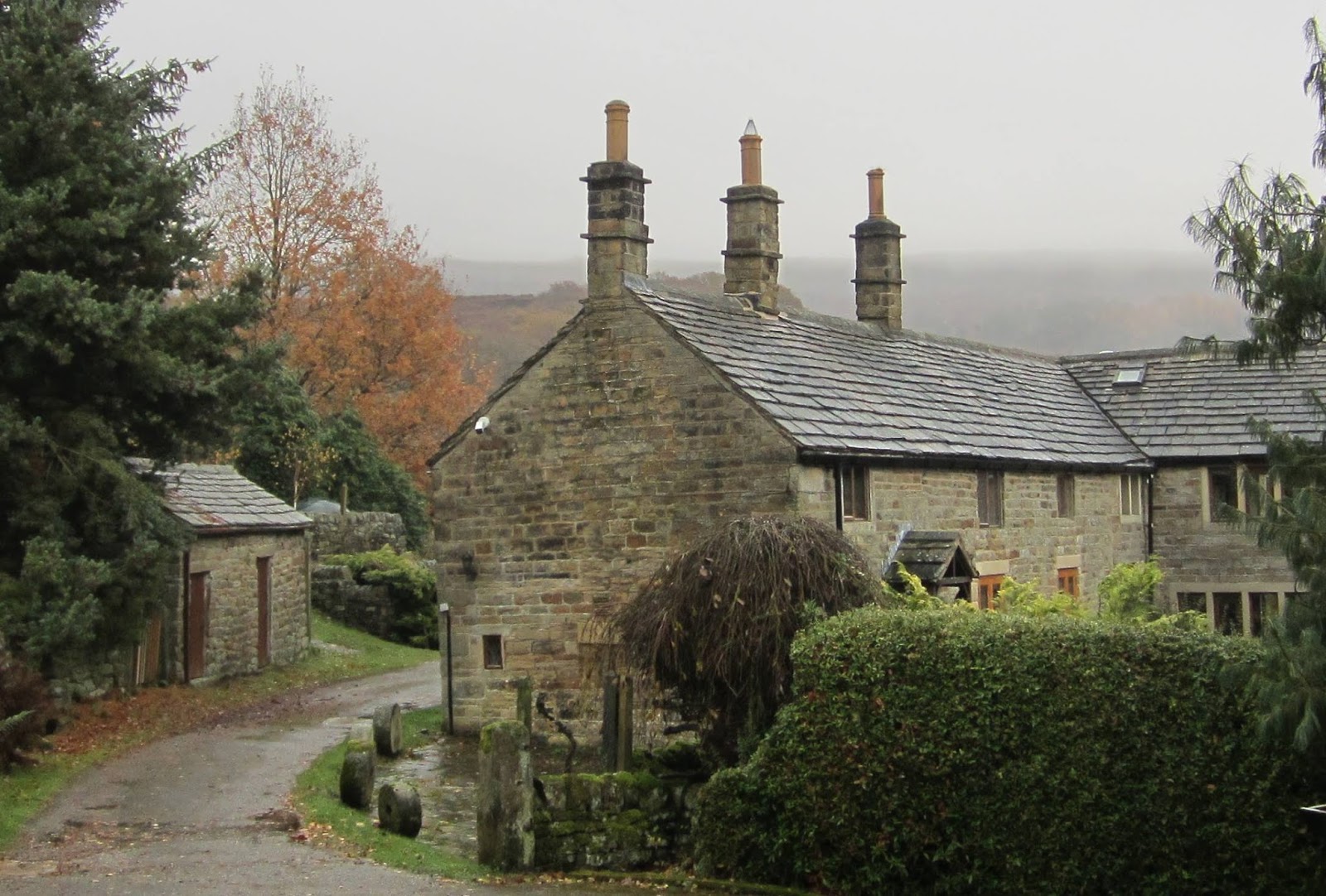
I caught the TransPeak bus from Bakewell and travelled to Blackwell Turn and then walked down into Chee Dale.


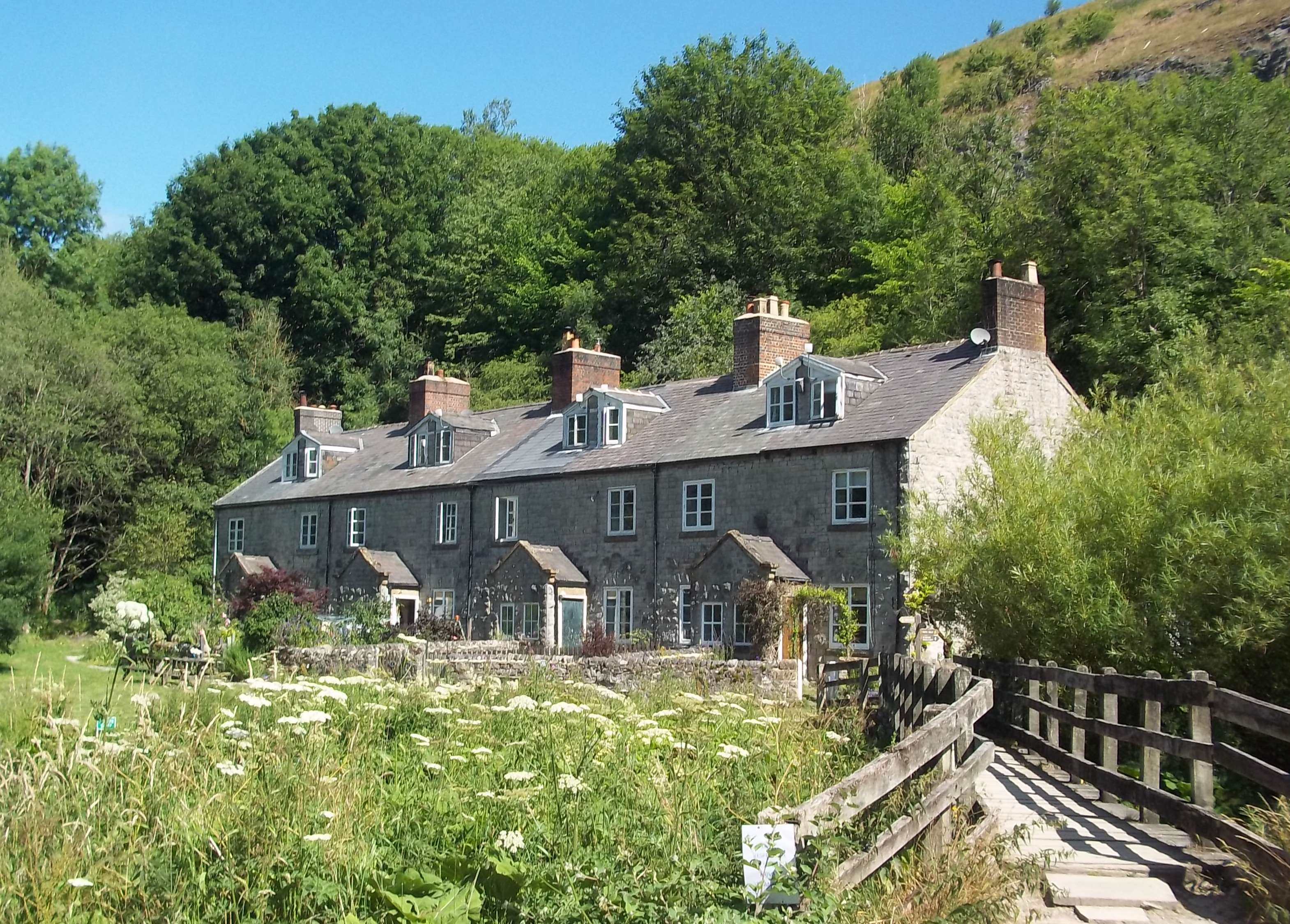
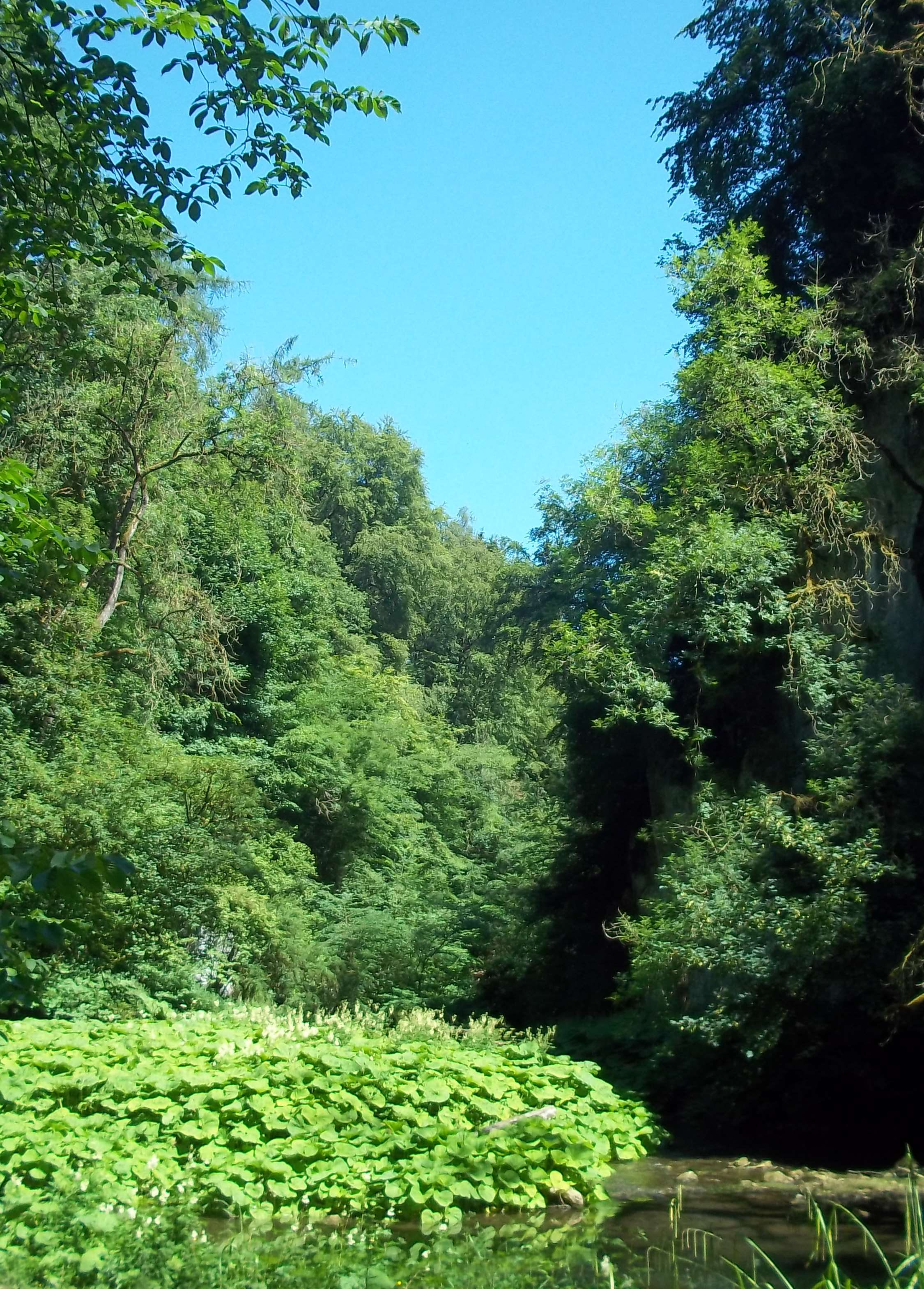
I arrived at Blackwell Mill Cottages and headed down the dale, going eastwards. 


The first set of stepping stones was high and dry, the second set, less so.


I briefly entered Millers Dale and then climbed up through the woods to Priestcliffe. It was a steep and strenuous climb, several hundred steps cut into the hillside. It's certainly something I don't remember undertaking before. 

I took a track going to the north of High Dale and continued heading eastwards to Brushfield.


I finished the walk by dropping down to the bus stop at White Lodge; I had to rush but arrived with a minute to spare...the bus was twenty minutes late though. At Bakewell two consecutive buses going to Sheffield were cancelled and so I had to wait for over an hour.


Saturday, November 16, 2019

Bamford to Ecclesall

It was forecast for thick cloud and a gentle breeze today; that was good enough for me...although there was a slight drizzle until nearly midday.

I travelled to Bamford and walked up Saltergate and made my way up to Stanage Edge using the network of country lanes, tracks, bridleways and footpaths to the north of Hathersage.

I didn't use the footpath going across the golf course...I don't know why.


When I saw the ' Road Ahead Closed' sign I was confident that whatever the problem was I'd be able to pass on foot.


A few minutes later I wasn't so sure though.


I followed the suggested route up the steps.


The path goes parallel and right next to the closed track, only it's on higher ground. I couldn't see any problems at all and when I got to the end of the closed section there was a notice explaining the reason for the closure; resurfacing, and so nothing at all to do with the floods.

My camera gets good reviews and ratings for its performance in poor lighting conditions. I took quite a few test shots and these two were the best of my early efforts.


I decided to also take some photographs were the subject matter was closer.


Just beyond Green's House there are some stepping stones. I decided not to attempt crossing them today though and instead walked further upstream using the footpath - quite difficult in places.


The camera coped much better with the images of Stanage Edge - I think it was a bit brighter and less misty then though.


I walked past Stanedge Pole and almost down to the Redmires  Reservoirs before taking the footpath that goes across the moors towards Fulwood Lane.


I took three or four different country lanes to get down to the Forge Dam Cafe, where I had a pot of tea.

I planned to end today's walk at Ecclesall Church and that was where it did finish. I wasn't sure this would be the case because for the last half a mile or so I had to manage without a map because the Ordnance Survey Peak District coverage doesn't reach this far into Sheffield.





Monday, July 1, 2019

Lodge Moor, Storrs, Dungworth, and Wharncliffe Side

This morning I had to start my walk from a different location to the one planned. I arrived at Sheffield later than expected because of problems with the trains at Doncaster and so subsequently missed my bus by a few minutes. So I walked up the hill to Arundel Gate and caught the bus going to Lodge Moor. Both the train and the bus that I travelled on were very crowded and I was squashed into a very tight space and so when I arrived at the bus terminus at Lodge Moor my knees, lower back and neck were sore and stiff - this took me a few minutes to walk off and get loosened up.

The most difficult terrain of today's walk was right at the start, just a few hundred yards from the blocks of high rise flats at Lodge Moor; a steep, overgrown and quite slippery descent through the woods and some stepping to cross at the bottom of the valley - fortunately someone had left a stick down by the river which I used to help with my balance.


I crossed the busy Manchester road and headed north to Dungworth  using footpaths and country roads.


I continued down to Damflask Reservoir, walking along the road that goes across the top of the dam wall.


About half way climbing up the other side of the valley I stopped to sit on a bench and check my map; a couple of teenagers rode by on their bikes and asked if I was reading the Bible, and then asked me if I was carrying a bicycle pump. Another example of the abuse I regularly receive from people; I didn't have to decide how to handle it though since they were soon gone, freewheeling down the steep hill.

I passed four [I think] of these old milestones which are located at many road junctions in Bradfield Parish - there must be dozens of them.


I cut down through the woods and briefly walked along the footpath on the southern shore of Broomhead Reservoir and then took the concessionary path which is a private access road going along the northern shore of More Hall Reservoir, it's used to reach the dam wall and some private properties. The walk finished on the main road just north of Wharncliffe Side where this road comes out, almost hidden from view as you're driving by.