Showing posts with label Great Ridge. Show all posts

Friday, January 28, 2022

Climbing Mam Tor

I managed to do my planned walk today from Bamford even though my expected bus didn't show up. I had to catch the 257 ten minutes later; it goes by a different route. I got off near to the church and then walked down to the mill.


I used the stepping stones and the walkway to cross over the River Derwent and then continued across the fields to Hope. En route I passed by a sheep in a field all on its own, just standing there without moving at all. I've not seen that behaviour before.

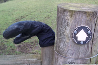
So many times I see an odd glove left on a gatepost when someone will have removed it to open the latch and have then dropped it. The next person to come along must pick it up and place it on the top of the gatepost - it must be basic walking etiquette.


I kept to the north of Hope, missing out most of the village.


From Hope I looped my way over to Castleton, climbing part of the way up the southern flank of Lose Hill to Losehill Hall Farm and then taking a lower level path heading towards, Hollins Cross, the lowest point on the Great Ridge. 


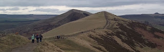
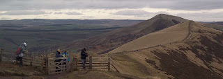
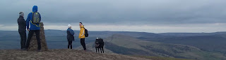
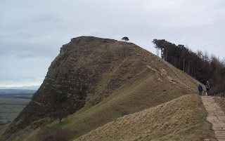
I continued along the ridge until I reached Mam Tor, the highest point. It was very windy up there, the windiest I've ever experienced it in the Peak District.


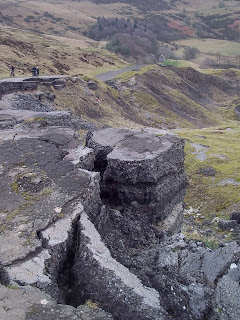
Part of my route to Castleton took me down the abandoned road.


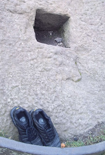
At the Odin Mine Crushing Circle I found another item of abandoned clothing...these boots.


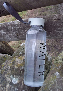
Something else abandoned a bit further on.


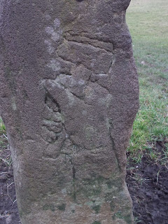
On the approach to Castleton I spotted this weathered carving of a hand holding a hammer.


I should have had only twenty minutes to wait for the bus...but it was ten minutes late.

Thursday, July 11, 2019

Castleton, Edale, Upper Booth, Barber Booth, and Hope

The earlier I go to bed the later I seem to wake up the next morning; there must be some complicated and counterintuitive reason or mathematical formula to explain this which if I knew about it I probably could take advantage of it to optimise my sleeping patterns.

I went to bed at 9:50 last night, that's quite early for me, but woke up at 6;20 this morning - about half an hour later than I normally do. Even though I had everything ready to go, my clothes piled up at the top of the stairs with everything I'd need already inside the zipped pockets of my fleece, my map already folded and inside the mapcase, my boots selected and my food and drink and all my other provisions in my rucksack I still didn't reach the railway station until 06:55...and then the first train going to Sheffield was delayed. 

So...I ended up arriving at Castleton an hour later than planned: after a quick visit to the toilets I walked along Hollowford Road towards Hollins Cross, the lowest point on the Great Ridge. I then immediately descended to Edale.


The church at Edale was open today.


I walked along the first two miles or so of the Pennine Way to Upper Booth and then looped back to the south east towards Barber Booth.


There would have been some more nice scenery to photograph as I was heading for Barber Booth but it really was quite misty and it was drizzling a bit. Something interesting I noticed though was several small painted concrete pyramids that had been placed at the side of the footpath all the way to the Methodist Chapel at Barber Booth as part of an installation art project. I got down low to take some photographs of them, trying to feature them in a landscape shot...all I got was sore knees though.

The weather brightened up as I climbed up Harden Clough towards Mam Nick, completing my second crossing of the Great Ridge of the day.


On the way back down to Castleton I called in at the shop at the Blue John Cavern and bought a butterscotch flavoured ice cream. It was delicious and refreshing but would not have been my first choice if there'd been more flavours to choose from.


I arrived at Castleton with enough time to continue on to Hope, taking the footpath that goes alongside the river.


I caught the bus that goes from Hope Valley College [at Hope] to Knowles Lane at Whirlow where the service terminates and we have to get off - there are plenty of other buses going the rest of the way into the city centre though...although it is a bit annoying.

On the train coming back to Doncaster from Sheffield I was standing in the vestibule area right next to a man who was reading his own article in The Geographical Magazine. I decided not to disturb him by telling him that I recognised his face from the thumbnail photograph at the top of the page - he might have thought I was being nosey or rude.

Sunday, March 17, 2019

Bamford, Thornhill, Aston, and Hope

I travelled to Bamford and then walked along the footpath to Thornhill.


I then went to the west towards Aston and up the bridleway to Hope Cross. For about a mile, mainly walking along the road to Aston I got caught up with a large group of teenagers who seemed to be marching to the beat of Whitney Houston songs - I found myself joining in to keep up with the pace.


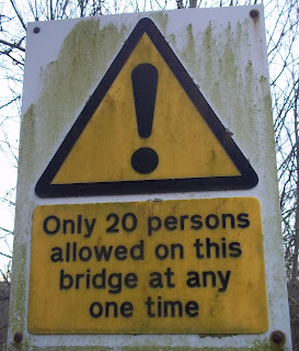
[Some hazards aren't depicted on Ordnance Survey maps]


The water in the ford at the bottom of Jaggers Clough was at least a foot deep - just about my comfortable limit for walking through.

I took the footpath which leads up to Edale Youth Hostel and then turned to the south and made my way up the long steep climb to the top of the Great  Ridge near Back Tor.


It was dangerously blustery on the top of the ridge and so I immediately took a lower level path through the woods and then across a grassy hillside area down to Hope. One of the routes I took along here was one of three stretches of footpath today that I hadn't previously used on my walks. 


I arrived at Hope with plenty of time for a pot of tea and a flapjack at the Grasshopper Cafe in the village.

When the weather was nice it was perfect for photography, but it was a day spoiled by the wind again...at least it meant that the snow showers soon passed over though.

Today's route - 10 miles:


Sunday, September 30, 2018

Ladybower Inn, Aston, and Brough

I got off the bus at the Ladybower Inn, crossed over the road and climbed up through some woods and headed towards the moors; it was a steep and difficult climb in places. Looking down at Ladybower Reservoir I could see that the water level is still quite low despite the recent rainfall.


It was uncomfortably windy and cold high up on the moors and so I took a footpath leading down to the reservoir; it was much warmer at the bottom of the valley.


At the earliest opportunity I got right down to the water's edge and was able to take photographs from some unusual angles and locations which aren't normally accessible because they're underwater. Several other people had had the same idea.


Eventually I reached Ashopton Viaduct, not too far from where I'd got off the bus a couple of hours earlier, and then headed south towards the dam wall. Like a masochist I then decided to climb up Win Hill, a climb of nearly a thousand foot - my second long, steep climb of the day.


I came down from the summit using a path that I hadn't used before, arriving down at Aston - there were some tremendous views of the Great Ridge as I descended.


Finally I walked along the road to the bus stop at Brough. Travelling back to Sheffield I was entertained by a young Canadian woman who was talking on her phone to a much older man who she'd met online and was very keen to impress; he lives in Devon though and she didn't realise how far away that is.