I rarely go walking on Thursdays; it's the day I usually meet up with my friend Justin for a meal at a pub in town. With it being Valentine's Day today though, we thought we'd give it a miss this week.
I think that today's walk was probably the worst since I started writing the blog; I still enjoyed myself though, as I always do when I'm out on the moors.
I chose the location and route so that I could take advantage of the early morning sunshine. Things didn't get off to a good start: my connecting train at Meadowhall was twenty five minutes late. I was still at Penistone though for 09:35, not many minutes after my bus for the Peak District from Sheffield Interchange was scheduled to depart.
I started by walking back towards the east along the Trans Pennine Trail for about a mile, initially right next to the railway line and then through a wood.
The path I was looking for led off from the right, but when I reached where I assumed it was, there was only a footpath sign pointing to the left. I had no other option but to take this path, which fortunately crossed over the bridge and headed off in the direction I wanted, along a farm track.
I was steadily gaining altitude, and so, although it was mild, there was still a bit of snow about; maybe not as much as I'd expected, but further on it was still quite deep in places, especially near to stiles.
I soon saw my first wind turbine as I approached the hamlet of Roughbirchworth: Nearly every farm seems to have one. Today's walk was mainly outside of the boundaries of the Peak District; and therefore the planning regulations aren't as strict - I've certainly never seen any turbines inside the boundaries of the National Park.
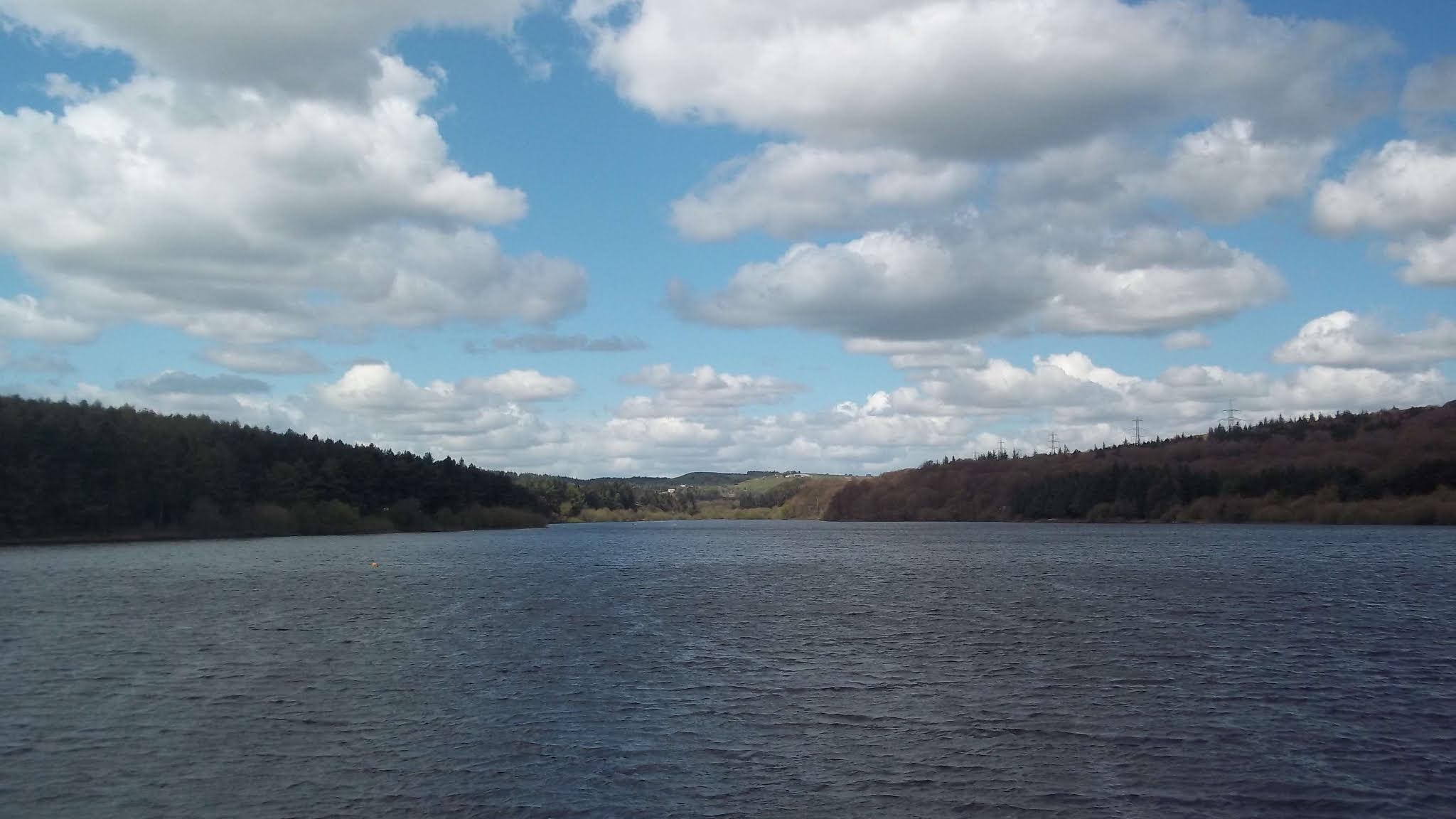
I continued, mainly across fields and then down a steep road, to reach the outskirts of Stocksbridge, and then Underbank Reservoir. I then walked along the southern shore for a while until I reached an Adventure Activities Centre where I took the path up through the woods to reach a country lane.
I soon found the path that took me along the western edge of Whitwell Moor. The final few yards of this section, not too far from the parking place, was difficult, having to walk through quite deep snow. My hamstrings were aching by now...but much worse was to come!
At the parking place I continued in a south easterly direction, briefly stopping to photograph the tautological footpath sign. I've not seen one of these before: maybe it's to deter mountain bikers.
I walked alongside a wood, then along a track which led all the way to Bolsterstone. This track forms the boundary of the Peak District here, and when I saw a bench located just a yard or so inside the boundary I stopped and sat on it for a few minutes; just to say that I'd visited the Peak District again today.
At Bolsterstone I took the path which runs parallel to the Wharncliffe Side road. In places it was quite muddy: One place in particular, where some cows had churned up the ground and I ended up being up to my knees in mud and cow shit, and then up to my elbows too when I stumbled. This was absolutely exhausting, my muscles everywhere were straining and aching; hamstrings, thighs, buttocks, back, neck, shoulders. I was glad to get out of the field; I felt very vulnerable being in such close quarters with the cows and having no obvious escape route.
My clothes were in a right state; my trousers and coat plastered with this thick 'mud' which I tried to wash off when I found some clean water.
Just before finishing the walk on the main road just north of Wharncliffe Side I made an unexpected discovery; a carved dragon's head. As the information board explained, this is the Wantley Dragon. It features prominently in the local folklore, and I had heard of it; but I thought it was located at the other side of the valley.
Although today's walk at about eleven miles, certainly wasn't one of my longest, I am feeling the most exhausted I've ever felt after completing a walk. I suppose it's due to the difficult conditions - the deep mud that was grabbing my ankles like quicksand. I wonder if there's some sort of mathematical formula to calculate the amount of energy expended when walking across different terrain with different conditions underfoot.