Showing posts with label Google Streetview. Show all posts

Saturday, March 14, 2026

Stainforth and Fishlake

The local weather forecast for today was for it to be dry for a few hours in the morning and so I caught the Thorne bus to Stainforth and crossed over the bridge and within a few seconds saw the footpath that goes up onto the embankment and followed the River Don for about a mile to Fishlake. 


When I was looking at Google Streetview last night I noticed that there was an old fighter aircraft being stored in a field next to the village hall; unfortunately it isn't there now. I continued to walk through the village and then along a country lane for a mile or so until I reached a path, which according to my Ordnance Survey map led to a footbridge going over the New Junction Canal. Well, when I got there the bridge had been removed so I had to return to the road, a distance of a few hundred yards. A notice explaining the closure would have been helpful.

At the road there was another footpath going off to the left, heading south back towards Stainforth. After only a few yards my route was blocked again, this time by a barbed wire fence; it was obvious that this was a public footpath, you could see the sign at the side of the road. There were two female walkers approaching me, one of them checked her online app and that clearly showed that we were on the currect path; I decided to squeeze between the gap between the two wires and they managed to get around it by stepping into a drainage ditch.

After a few minutes the path continued along the top of another embankment - there were some decent views to enjoy.


.  


The embankment. and therefore the path, were now going parallel to the road that goes to Stainforth, there were a couple of gates I could have easily climbed over to reach the road, but I didn't. I thought I'd regretted that decision when the path made a sharp left turn because the route straight ahead was blocked by what I'm assuming is a flooded remnant of the old course of the River Don. I'm glad I had to go this way though because I got to pass through a beautiful area right on the western approach to Fishlake...it's shown in the photograph below.


I had a few hundred yards to walk back to the bus stop at Stainforth; fortunately the bus back to Doncaster was waiting there - I dashed to get on and as soon as I took my seat the driver set off.

Sunday, April 7, 2019

Stoney Middleton, Wardlow, Cressbrook, Upperdale, Ashford in the Water, and Bakewell

According to the roadside sign only a few feet away, the place I got off the bus this morning is in Stoney Middleton, Google Streetview disagrees though and says it's in Calver. Well, I walked down the road back towards Calver and then up Coombs Dale, not a particularly pretty or interesting dale, but it's the nearest Peak District limestone dale to Sheffield and so is relatively easy to reach on public transport. 

At the entrance to Coombs Dale there are three separate signs indicating that it's a public footpath, a concessionary bridleway, and a private road. At the top of the dale, two miles further on, is the beginning of the old quarry workings, which are securely fenced off.


On a rather murky day it was a pleasure to see some garden primroses growing on an embankment next to the slurry lagoon...as well as some daffodils. I took a more interesting photograph of some daffodils later though.


I continued heading to the west using the quarry road; I overshot the footpath going across the fields to Wardlow because I was jogging down the gentle incline, and so I had to enter the village using the road...en route I didn't get the opportunity to meet the kind, gentle, sociable people who lived here with their noisy aggressive dog.


The daffodils in Wardlow were growing upright, in the right direction...and there were a lot more than forty of them.


The path leading down to Cressbrook Dale was easy to find and then I passed through the lower part of Cressbrook.


I crossed over the river at Upperdale before briefly using the Monsal Trail. Just before crossing the Headstone Viaduct I dropped down to the riverside path, which I stayed with until I reached the car park at Lees Bottom. 

It was a couple of miles through the woods and then I arrived at Ashford in the Water.


I noticed that dogs and muddy boots were on the menu at the tearooms; I prefer a pot of tea and a scone, but I didn't treat myself today.

I hadn't checked the new summer timetables and so didn't know what time the buses from Bakewell were going back to Sheffield, and so the last couple of miles along the riverside pastures weren't against the clock today - I didn't see the point. 


Sunday, February 4, 2018

Ladybower Inn, Moscar, Hollow Meadows, Stannington, and Malin Bridge

I got off the bus at the Ladybower Inn, crossed the road and headed up the footpath onto the moors. I soon reached a section of path that had recently been repaired and a pull-out [and up] wooden tree identification board installed.


I tried to take a photograph with the panel extended...but I really needed an extra arm; whenever I pushed the shutter release button using one hand the camera moved so that I didn't get the image I wanted...not at all. 

The best views were behind me along here, looking back towards Win Hill.


The weather was still quite murky so there weren't a lot of good opportunities for photographs; this one I took of the old milepost turned out alright I suppose.


When I reached the ford near Cutthroat Bridge I stopped and had a brief chat with a student who was genuinely panning for gold; he had all the professional equipment by the look of things. I didn't want to disappoint him too much but did mention that I didn't know about any gold deposits anywhere in the Peak District. He seemed to be enjoying what he was doing though and so I left him to it - maybe it was a university project that he was working on.

I checked my map as I reached Moscar House, not just to check for directions but also to confirm that I was correct about a geographical curiosity in this area. There's nothing at all to see at Moscar, it's merely a collection of a small number of isolated farms up on the moors. The fact that makes it a bit interesting, for myself anyhow, is that there are several premises all of which feature 'Moscar' in their name...and they are located in three different local authority areas; High Peak Borough, Derbyshire Dales, and the City of Sheffield.

I continued walking eastwards towards Sheffield, quite often along the road, but sometimes taking a short section of footpath whenever I could...usually adding a few hundred yards to the distance.

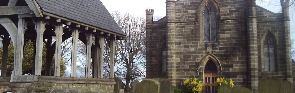
Underbank Unitarian Chapel is just to the west of Stannington.


The Anglical church is about a mile further on in the main part of the settlement, which is a suburb of the city.


I'd already checked on Google Streetview where the footpath leading down to the Rivelin Valley was; it's a narrow snicket between two houses, which I could have easily missed.

The walk finished at the tram terminus at Malin Bridge and everything went according to plan all the way home on public transport.