Showing posts with label Aire and Calder Navigation. Show all posts

Thursday, September 12, 2019

Wakefield, Stanley Ferry, Bottom Boat, Lee Moor, Lofthouse, and Outwood

I didn't have enough time to go walking in the Peak District today because I needed to get back home by 5:30. So it's been a fairly local walk with my brother that finished with a quite short train journey of thirty five minutes, and as it was, I actually arrived home with nearly three hours to spare.

I met up with my brother at Wakefield Westgate Railway Station and we walked through the city centre - I caught this quick glimpse of the cathedral spire as we approached the building.


We walked down to the footpath that goes alongside the towpath of the Aire and Calder Navigation [at this point the towpath is closed] - until we reached Stanley Ferry.


There's an attractive covered walkway at the side of the Stanley Ferry Inn but the gates were locked and weren't due to be opened until the pub opened a few minutes later at 10:30 so we had to double back and go the long way round over the road bridge.

We then walked along the bank of the River Calder for a few minutes - along this stretch I noticed some tomato plants growing on the riverbank. We headed north, keeping to the east of Stanley before arriving at Bottom Boat and then heading across the fields to Lee Moor.

The way north to Lofthouse required that I study the map once or twice, but the route up and over the now landscaped former spoilheap of Lofthouse Colliery was well signposted. As we approached the country park which is now there I stopped for a pee but my brother continued walking, hoping to catch his train back home to Thurnscoe from the nearby railway station at Outwood.


Although you can't see any in either of the two photographs I've included, I was surprised to see that there's heather growing at the top of the spoilheap.

My brother must have caught his train because he wasn't on the platform when I got there. I had over twenty minutes to wait for my train to Doncaster; I spent about half of that time fiddling with my camera - the power button had got stuck and I needed to use the nib of my pen to release it.


Friday, June 22, 2018

Sandal, Agbrigg, Heath, Kirkthorpe, Woodhouse, Stanley Ferry, and Wakefield

Another later start this morning and so I went on a local walk again. I caught the Leeds train and got off at Sandal and Agbrigg station, just a couple of miles south of Wakefield.

It's not far to Heath Common from the railway station. I took a few photographs and then found a nice spot to sit on the grass and eat my sandwiches.


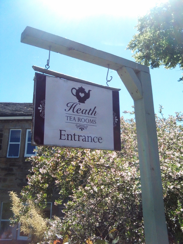
I then walked up to the village and took a lot more photos there; Heath's an unusual village, quite scattered with a massive central village green...plus many pretty cottages, an old hall, a pub, and some tearooms.


I couldn't find the footpath I was looking for to use to leave the village and so I opted for the road going down to Kirkthorpe until I reached the TransPennine Trail which took me mainly through the woods to Kirkthorpe, a much nicer walk.


I needed to walk through the entirety of the village until I reached the next footpath...and this was where things started to go wrong. The map I'd printed out from the internet was obviously a few years out of date; where I was expecting an easy route over to the River Calder I encountered a household waste recycling centre and a large landfill site. Fortunately the high voltage overhead electricity lines were where they should be and since the individual pylons are prominently marked on the Ordnance Survey maps I was able to navigate my way to the Catholic church at Woodhouse at the western edge of Normanton - it's got a tall spire and so that helped me. 

The building is quite impressive and rather unusual - it looks very Dutch to me. It was built in 1904 and I really liked the look of it.


I used the pylons again to make sure I selected the correct footpath for Newland Hall - but maybe it would have better if I'd got lost here. The hall is derelict and it seems that the lake is no longer maintained since it has expanded quite a bit and flooded the area where my footpath went; I had to turn back and find another to reach the road.


I walked down the road to Stanley Ferry, the point where the Aire and Calder Navigation crosses over the River Calder.


I was able to walk part of the way back to Wakefield along the canal towpath. At Morrison's supermarket in The Ridings shopping centre I got two very good bargains; I paid 6p for two Cadbury's Caramel doughnuts and 8p for four large raspberry and white chocolate cookies.


Saturday, August 18, 2012

A Lovely Day For A Walk.

It was the hottest day of the year for some parts of the country; but not here in Yorkshire. It was still a lovely day though; after a few drops of rain early in the morning it brightened up later, and although the sun rarely shone, it was still pleasant and warm...maybe a bit muggy though.

I didn't take the opportunity to visit the Peak District though. I went walking with my friend Chris from Leeds. I met him at Wakefield Westgate Railway Station and we walked along stretches of the River Calder, the Aire and Calder Navigation and the River Aire, to Fairburn Ings Nature Reserve...and then looped back to Castleford.

The route and the countryside was completely different to anywhere in the Peak District, but it was still enjoyable, especially because Chris has personal knowledge of the area.