Only a local walk today; not because my knee's sore after Wednesday's fall, but because I was a bit tired after after two late nights...meeting friends in Leeds last night and going to the theatre in Rotherham on Friday night to see a heavy metal, gothic, Victorian freakshow, circus, burlesque, and cabaret performance called 'The Circus of Horrors.'
I got off the bus at Hill Top and walked along the road for a few yards before turning off down a path which goes by the side of a very secure compound which was surrounded by high railings and a barbed wire fence. There were what looked like a watchtower/guardhouse and sensors on the approach road making this place seem like a location straight out of a James Bond film. I've no idea what it is, there might have been a sign on the main road, but I don't recall seeing anything memorable.
The path veered away from the railings and went deeper into the wood. Over to my left I noticed a cliff about thirty foot high; something that is quite common along this section of the
Yorkshire Magnesian Limestone Ridge.
There were occasional clearings in the woodland where I could see all the way to the horizon.
The path then continued across a field recently planted with what I would say were mangels; but to be honest it looked more like sugar beet - but I don't think that's a winter crop...I'm really showing my ignorance here.
The path across the field was very muddy and I was glad to get down onto the farm tracks and lanes in the hamlet of Firsby, which strangely, is only depicted as a farm on the online Ordnance Survey map that I downloaded.
I did a short detour to Firsby Reservoirs, which are now disused and are either a nature reserve or a country park, it didn't say on the sign at the entrance.
I then climbed up out the valley. The footpath goes along the edge of a field; I kept stopping and turning round to enjoy the view towards the west behind me. Right on the horizon I could see the Holme Moss transmitter; you need really good visibility to be able to see this from anywhere locally - it's just over the boundary in Cheshire, as it was prior to local government re-organisation in 1974...and always will be be to me since I stick to the traditional county boundaries. Officially it's now in Derbyshire...Cheshire sounds so much further away though.
More muddy fields to cross until I reached the M18 motorway. The path joined a track which I walked along right next to the motorway for a few hundred yards before walking through a tunnel passing under the carriageway, and continuing to Micklebring. I washed my boots in an ice-covered puddle to make myself a bit more presentable in case I called in the pub; this surprised me a bit, I didn't think it had been quite so cold overnight - I had noticed frost on the ground in sheltered areas earlier on though.
I didn't walk past the pub in the village, so that decision was taken care of; what I did pass though were two neighbouring houses, one flying an Australian flag and the other a black and white Union Jack. I've no idea what the latter signifies or represents; I've spent a few minutes researching online and am none the wiser - maybe it's just some sort of friendly sporting rivalry.
I then headed straight for Clifton Hill, the second highest spot in Doncaster at 466 ft above sea level, but the most prominent, with extensive all round views. The highest point is located a couple of miles away at Fordoles Farm near to Maltby, there's nothing to see there though - just a trig point in the middle of a field.
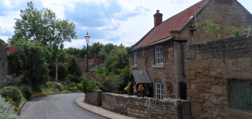
It was a short walk through some woods and then I arrived at Clifton, a village, which despite being so close to Doncaster, I've never visited before. It's not particularly pretty, but there are some nice houses there.
Just as I arrived at the village I noticed this sign; I wonder what the missing words might be?
I couldn't find the path which leads down to Conisbrough, I think it had been blocked, and so navigated by line of sight, walking across a couple of fields and then along the old railway embankment. I could see on the map where I needed to be, I could see it in the landscape ahead of me where I needed to be...so I just went straight ahead; the only obstacle I encountered was a small ditch which I needed to jump across.
I soon joined the proper footpath; it passed under a dismantled railway bridge on the disused line. There was some useful graffiti sprayed onto the masonry; I'm assuming that the path to Conisbrough wasn't blocked when this was done.
This path came out onto a country lane at the back of Crookhill Park Golf Club, not really where I wanted to be, but only a walk of about a mile down into Conisbrough where buses go to Doncaster every ten minutes or so...even on a Sunday.


.jpg)
.jpg)
.jpg)
.jpg)
.jpg)