Showing posts with label Idle Valley Nature Reserve. Show all posts

Friday, May 24, 2019

Bawtry, Scrooby, Mattersey Thorpe, Mattersey, Lound, and Cooks Cottages

A later start today and so only a short bus ride out to Bawtry. The bus ride was even shorter than I'd planned though; I wanted to start the walk at Scrooby but the Retford bus that goes there didn't turn up and so when the Worksop bus showed up on time twenty minutes later I boarded that...meaning that I had a mile and a half to walk down the road until I reached Scrooby.

I took some photographs in the village and then headed over to Mattersey Thorpe and then Mattersey. I was walking along a dusty bridleway along this section of the walk and a car was approaching me. I jumped over to the right to get well clear of the cloud of dust it was causing but I nearly stood on a young hare or rabbit and then stumbled and needed to briefly put my hand on the car's bonnet to get my balance. Fortunately the car was only travelling slowly, at walking pace, but I was coughing for the next few minutes as I recovered from inhaling copious amounts of dust particles.


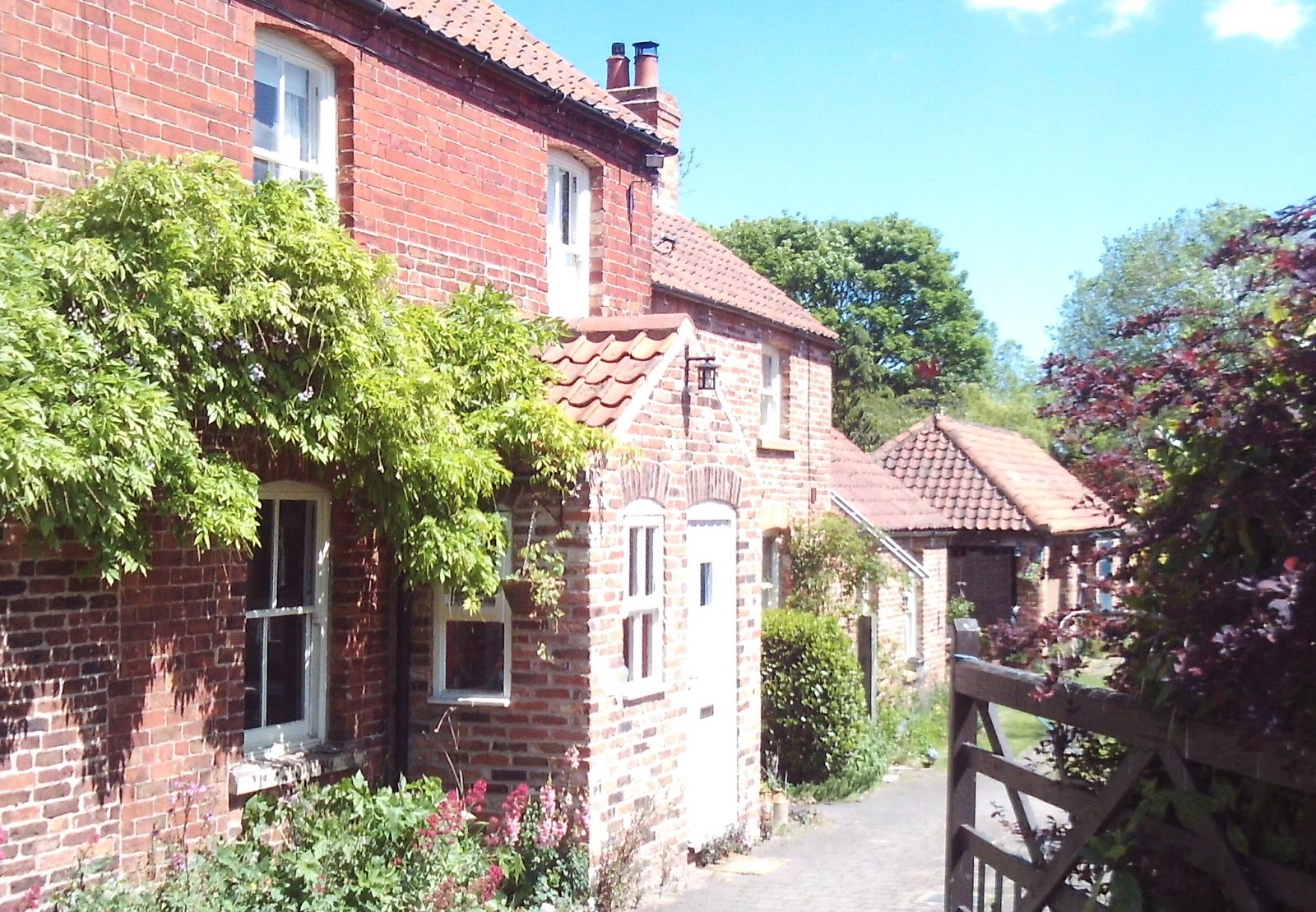
The church at Scrooby was locked, the one at Mattersey wasn't though.


I've not visited the ruins of the priory at Mattersey yet, access is via a mile and a half long dead-end footpath...so it entails a three mile detour.


There's no church to photograph at Lound.


I headed to the south, walking down the road for a few hundred yards until I reached a lake which I think is part of the Idle Valley Nature Reserve. I progressed further into the country park and some of the paths had been blocked off and re-routed and so I couldn't work out where I was; I had to stand still for a few minutes until I could hear a train travelling on the East Coast Mainline. It was easy enough then for me to get my bearings...this is a technique I wasn't taught on my mapreading and navigation course at Northern College.

The path which led out of the nature reserve took me to a bus stop on the main Doncaster road right across from a noisy garage. I didn't fancy waiting there for thirty minutes and so walked down to the next bus stop at a location called Cooks Cottages, only two miles north of Retford. I now had only twenty minutes to wait; about five minutes before the bus arrived though a couple of young men in a white van waived at me and honked their horn; I don't think they were being friendly though - and I certainly didn't know them. They probably objected to how I was standing, what I was wearing, how I was observing the passing traffic as I looked out for my bus. Maybe they were offended because I'm too tall, or too thin, or they didn't like my glasses or my haircut...whatever it was, it's always something for some people.


Saturday, October 20, 2018

Gringley-on-the-Hill, Wiseton, Clayworth, Lound, Sutton Cum Lound, and Barnby Moor

A walk with my brother today, although I wasn't certain that he'd be joining me until I saw him on the bus when I got on at my local bus stop; he doesn't use a mobile phone and this makes communication difficult.

Dean's not been to Gringley before and so we spent about half an hour exploring the village; it's quite a large village.


We then walked back along the road for a few hundred yards, heading west, until we reached a path going across the fields to Wiseton, a pretty estate village.


A short stretch walking along the towpath of the Chesterfield Canal followed and then we entered Clayworth from the north. Clayworth Church is famous for the Traquair Murals which are painted on the walls inside.


We crossed over the canal, followed a track and then arrived at the Idle Valley Nature Reserve.


There was nothing for me to take any photographs of in Lound, but I took quite a few in Sutton Cum Lound.


It should have been a short and quick stroll down the road to Barnby Moor to catch our bus back to Doncaster but we were delayed  by quite a few minutes at the level crossing as three trains passed on the busy East Coast Main Line. Dean gave me a countdown as one of the trains approached and I was able to time the taking of this photograph to perfection.


Just for interest, I also took this photograph; I was exactly 141 miles and 56 chains from London King's Cross station.


When they finally opened, the gates only stayed open for just long enough to let the two of us and three cars cross; the klaxons started sounding and the red lights flashing again whilst my brother was still on the tracks. Despite this delay though we still had fifteen minutes to wait for the bus at Barnby Moor.

Saturday, February 21, 2015

Ranskill, Sutton cum Lound, Sutton Grange, Tiln, and Retford

A first test for my ankle today after I sprained it struggling to get off the train last week: a local walk with no gradients or uneven surfaces...and not that much mud either - no hills, no peatbogs, no scrambling, no stepping stones, no dense undergrowth...welcome to Bassetlaw, Nottinghamshire.

Everything was fine, my right ankle is aching a bit, but that's all - I had all contingencies covered though.

I got off the bus and Ranskill and walked down Station Road/Lane, over the level crossing (I had to wait for two trains to pass) and turned right down the track which leads to Daneshill Lakes Nature Reserve.I took my time here, exploring the paths and looking at the lakes. I found a lovely spot just beyond the carpark, which is free, and sat and ate some of my sandwiches; it was early, but I wanted to enjoy the moment.


A few minutes after finishing my sandwiches I passed the location of the Ranskill Royal Ordnance Factory; there's nothing to see, just a couple of information boards.


If the writing's still too small to read after clicking on the images to enlarge them, here's a link to the Wikipedia page.


Beyond the nature reserve the path continued right alongside the East Coast Mainline Railway (there was a sturdy fence) and about half a dozen trains whizzed by in the few minutes I was there. The path then veered across fields to take me to Sutton cum Lound, with its pretty church.


I left the village, heading north east, but stopped to take a photograph of the 'Sutton cum Lound Welcomes Careful drivers' roadside sign - it's quite impressive, but not that unusual. Most Nottinghamshire villages seem to have something similar, individual to each village though.


The next section of the walk was rather unattractive, being along potholed byways and passing by quarry workings, scrapyards, and ramshackle buildings. I called in at the reception of Wetlands Animal Park to pick up some leaflets; I know of a couple of community groups here in Doncaster which might be interested in organising a trip.


A few hundred yards later I arrived at Sutton Grange; there's nothing to see here. I then turned right and arrived at Idle Valley Nature Reserve, where I finished off my sandwiches; I'm not sure if the photograph is the actual location where I was sitting though.


As I approached the bridge over the River Idle I noticed a sign stating that the fishing rights along this stretch of the river belong to the Derbyshire County Angling Club, even though the River Idle doesn't flow through that county at all.


The next section of the walk was difficult to navigate because my map bore no resemblance to the actual landscape. I was looking for a path going straight across some meadows, but the area had been fenced off with barbed wire, and it looked like some sluice gates had been deliberately opened, allowing the area to flood. 

Since I couldn't take my intended route I had to take a path along the top of the levee which contains the river, adding about a mile to my walk. I passed through Tiln, somewhere I hadn't planned to visit. The path that I needed went right up the drive of a house and behind the back of the garage - at least it was where it should be though.

I was now walking in an easterly direction along a well maintained track. Over to my left I could see a lake, and this isn't on the current Ordnance Survey Map either...another ghost lake of North Nottinghamshire. It appears that an angling club is now based there. 

I soon reach the canal, the Chesterfield Canal and walked down onto the towpath; the sun was at the perfect angle to illuminate the church at Hayton.


I had to take a photograph when I got to Whitsunday Pie Lock; I like my pies, but had never come across this type of pie before. I was disappointed to discover that no such pie exists, it's just an amusing local name.

It wasn't much further for me to walk into Retford and get something to eat, fish and chips from Kenny's; my favourite in the town.


I am very pleased with my ankle and how quick it's recovering. I did strap it up with a compression bandage, but it coped very well with a walk of at least ten miles. I reckon I'll be ready for the Peak District next week.