Since it's now compulsory to wear face masks on public transport I thought I'd better pack one in one of my rucksack's small zipped pockets, just in case I might need to catch a bus back home...or feel the urge to bite someone. With this latest development it seems like things are getting worse and I fear that it will be a very long time until I'll be able to go walking in the Peak District again.
Not having a car I'm obviously limited to local walks and it's getting difficult, demoralising and frustrating having to keep on covering the same ground. For today's walk I went to New Rossington by the quickest route, going to Lakesdie again, just as I did yesterday, and then continuing along the Greenway route.
Today I climbed to the top of one of the mounds overlooking the lake though.

Looking at the Ordnance Survey mapping there's a short gap between two footpaths which would be very convenient route for me so I went to Google Maps and that gap seemed not to be there, there was a path of some description shown...of course Google Maps does not distinguish which routes are definitive footpaths and which are not. I thought I'd take a gamble and go that way, and the gamble paid off, the route is a paved cycleway for its entire length from Bessacarr Lane to Atterby Drive at New Rossington, with a couple of underpasses for the motorway and the busy dual carriageway. This has been quite a find for me, it saved me a few hundred yards and quite a bit of walking through housing estates.
I still had to walk through the streets for about a mile before heading out to the west on my to Wadworth - the path goes over the top of the old spoilheap, which is still barren and bleak.
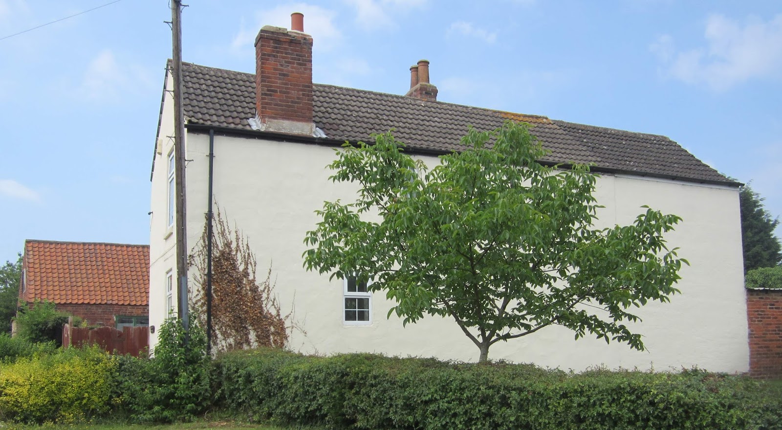
As I arrived at Wadworth the weather was brightening up.


Unfortunately the only way to get to Loversall is by using the road. I made a short detour to photograph the church again before walking down the pleasant country lane that leads to the old abandoned railway line that's now a footpath and cycleway.


Instead of turning right though to walk along the disused railway line I continued straight ahead, taking a permissive path that's not marked on any maps. It took me through some decent countryside, and it's less than two miles from my home. This route was quite a bit further...but it was a lot nicer.

No comments:
Post a Comment